

How to Join Topo Maps 2 Beta on iOS


About Topo Maps 2
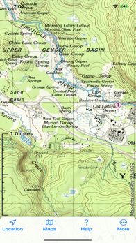
Topographic maps and satellite imagery for the United States and Canada from the US Geological Survey, US Forest Service and Natural Resources Canada in 2D and 3D
No network connection needed once maps are installed
Record your track, and share GPX files with other apps and devices
Hybrid map mode combines topo with imagery
Panorama mode shows silhouette of what's visible from anywhere on the map
Draw routes on the map; plot graphs of speed and altitude. "Fly" along routes in 3D
Offline search
Show your geolocated photos on the map
If you have our original Topo Maps or Topo Maps for iPad app installed, its maps will be shared with this app.
End User License Agreement:
https://www.apple.com/legal/internet-services/itunes/dev/stdeula/


